
0 results found
Shipping Address

microSD™/SD card | TOPO Canada - ALL
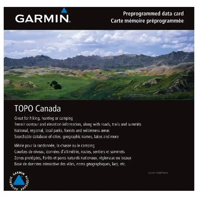
microSD™/SD card | TOPO Canada - ALL
We've mapped every hill and valley for your next great adventure. This map covers the finer details of the outdoors, including terrain contours, topo elevations, summits, routable roads and trails, rivers, lakes and geographical points.
$129.99
Please contact us for availabilty!
Product Description
Provides detailed topographic maps, based on digital 1:250,000 and 1:50,000 scale NTS data.
Contains hydrographic features, including coastlines, lake/river shorelines, wetlands and perennial and seasonal streams.
Includes searchable points of interest, such as parks, campgrounds, scenic lookouts and picnic sites.
Offers terrain contour and elevation information, along with summits, peaks and geographic points.
Contains routable roads, trails and highways in metropolitan and rural areas so getting to your destination is easy.